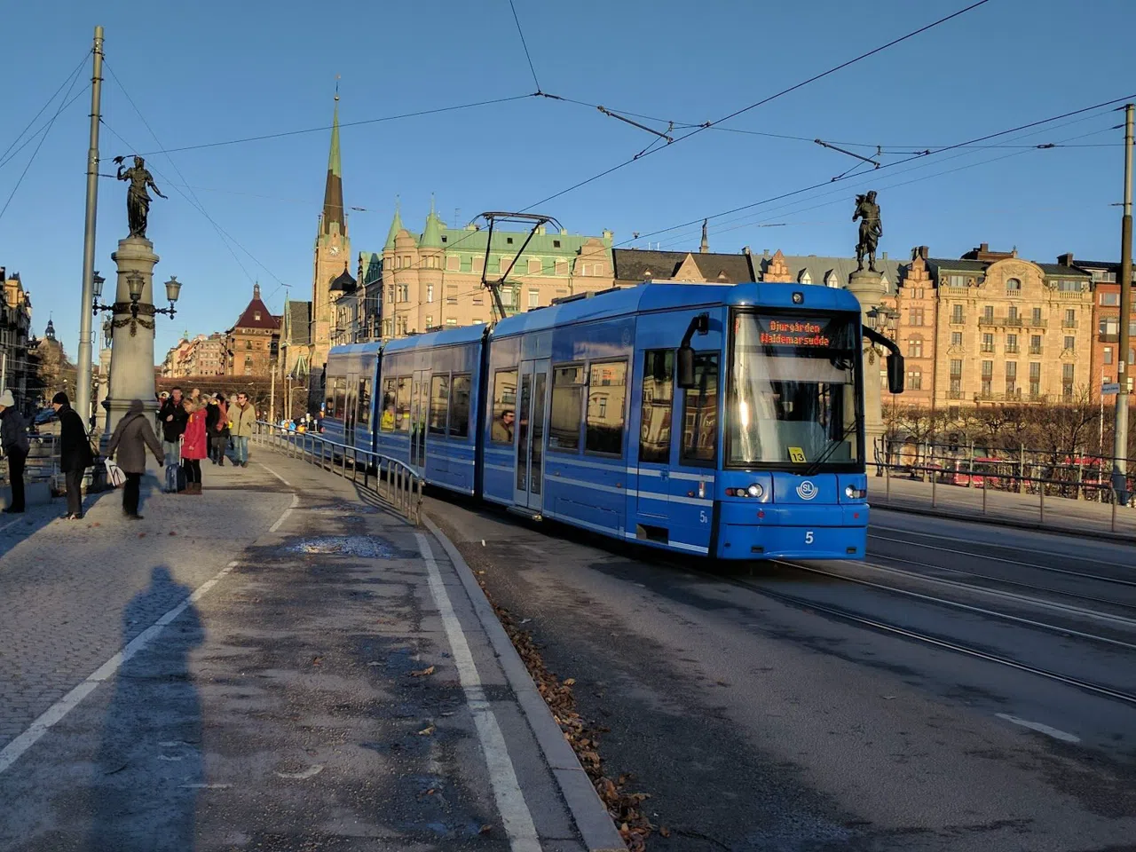

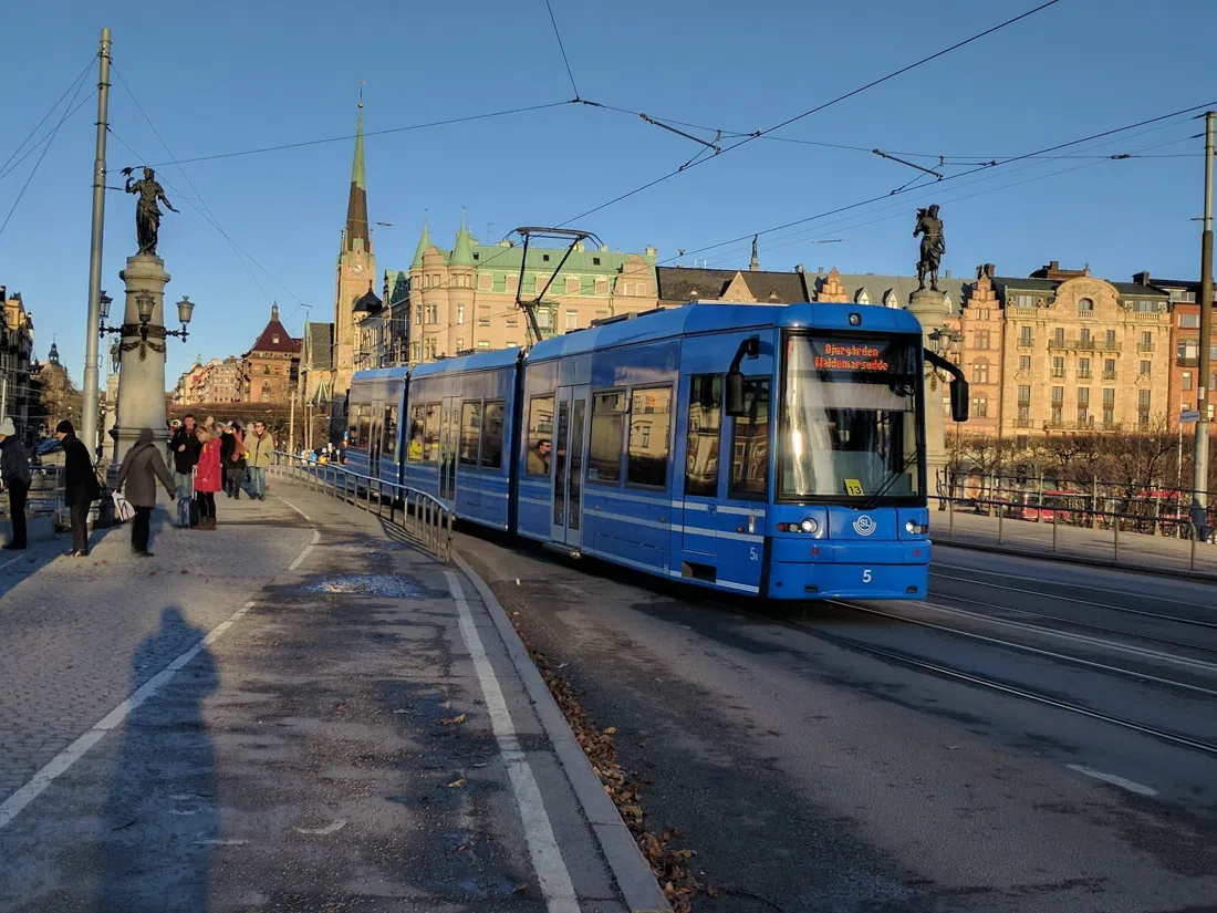
Stockholm sits on fourteen islands, and locals cross between them without much thought — a bridge is just where the pavement continues on the way to work. Walk the same crossings on purpose, though, timed to the light and stacked in the right order, and the commute turns into something closer to a rite: water on both sides, the Old Town rising behind you and then gone, then back again from a completely different angle an hour later. This route strings together the city's bridges, ridgelines and a couple of quiet islands most visitors walk straight past, with the museums, cafés and one boat trip that make sense of a full day spent moving on and off water.
Starting at Djurgårdsbron
Begin at Djurgårdsbron (the bridge linking Östermalm to Djurgården), the ceremonial gateway onto the museum island and the single most photographed crossing in the city. It's a short, flat walk — no stairs, no toll, no booking, and it takes any group size without complaint. Get here on tram 7 from Sergels Torg, which runs every 8–15 minutes between 06:00 and 24:00, or on bus 69, also from Sergels Torg, which stops closer to the museum cluster on the far side. If you'd rather arrive by water, the Djurgården ferry runs from the Slussen terminal, a seven-minute crossing covered by an SL pass — worth doing on the way out so you can walk the bridge itself on the way back.
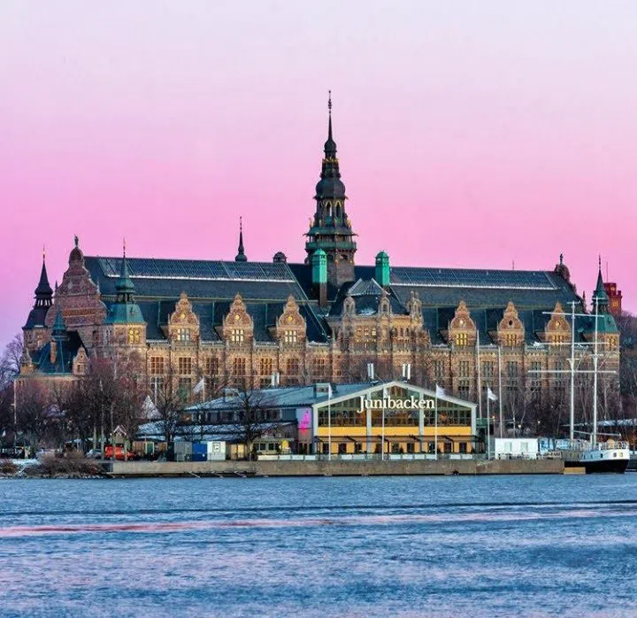
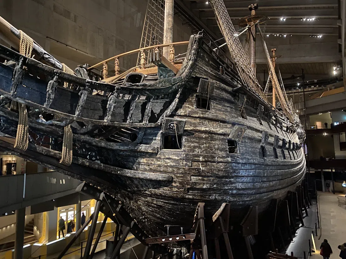
The bridge is the photo stop, so pause on it rather than just crossing it, but the reason to linger on this side is what's waiting on the island. Nordiska museet (Djurgården), the Nordic Museum, is visible from the bridge deck itself — its Renaissance-castle facade is half the reason Djurgårdsbron photographs so well. It's open daily in 2026, admission is around 150 SEK, and there's a restaurant on site if you'd rather eat before the walk than after. About ten minutes further on, past Nordiska museet, is Vasamuseet (Djurgården), the Vasa Museum, the most-visited single stop on the island and worth the detour even if you've seen it before — a seventeenth-century warship pulled whole from the harbour mud does not get less strange on a second visit. It runs 10:00–17:00, later on Wednesdays, admission around 190 SEK, and it takes pre-booked group tickets well; go before 11:00 if you want to get ahead of the tour-bus arrivals that build through midday. A few minutes past it on the same road, ABBA The Museum (Djurgården) is easy to fold into the same stop without backtracking — it's a lighter, high-energy detour with timed-entry tickets that are worth booking ahead for a group, since walk-up slots run out fast in summer. Expect 250–330 SEK.

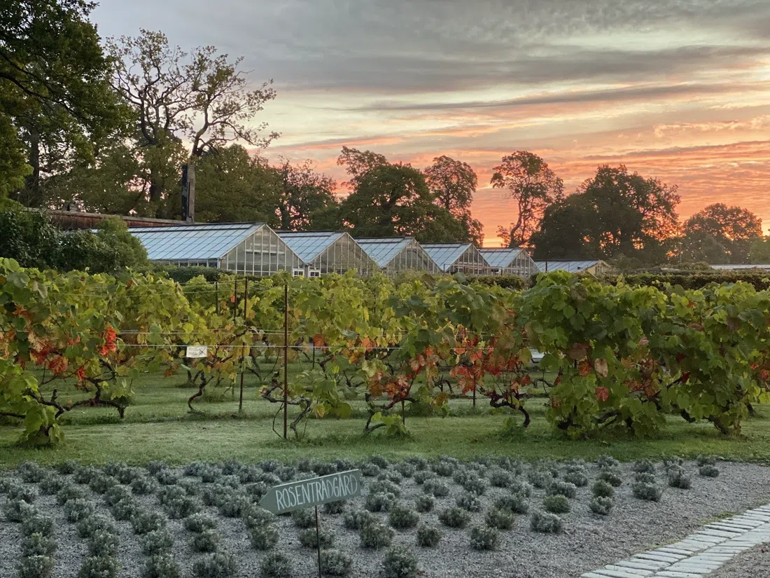
If the museums aren't the point and you just want to sit down, walk north about fifteen minutes through Djurgården's open parkland to Rosendals Trädgård (Djurgården), a self-service garden café that's genuinely local rather than staged for tourists — Stockholmers bring their own bikes and sit out in the orchard. It doesn't take reservations, but it handles groups reasonably well outside the lunch rush. Budget 100–200 SEK per person for a plate and coffee. This is the natural refuelling stop before doubling back toward the water for the next leg.
The Quiet Crossing: Skeppsholmsbron and Riddarholmen
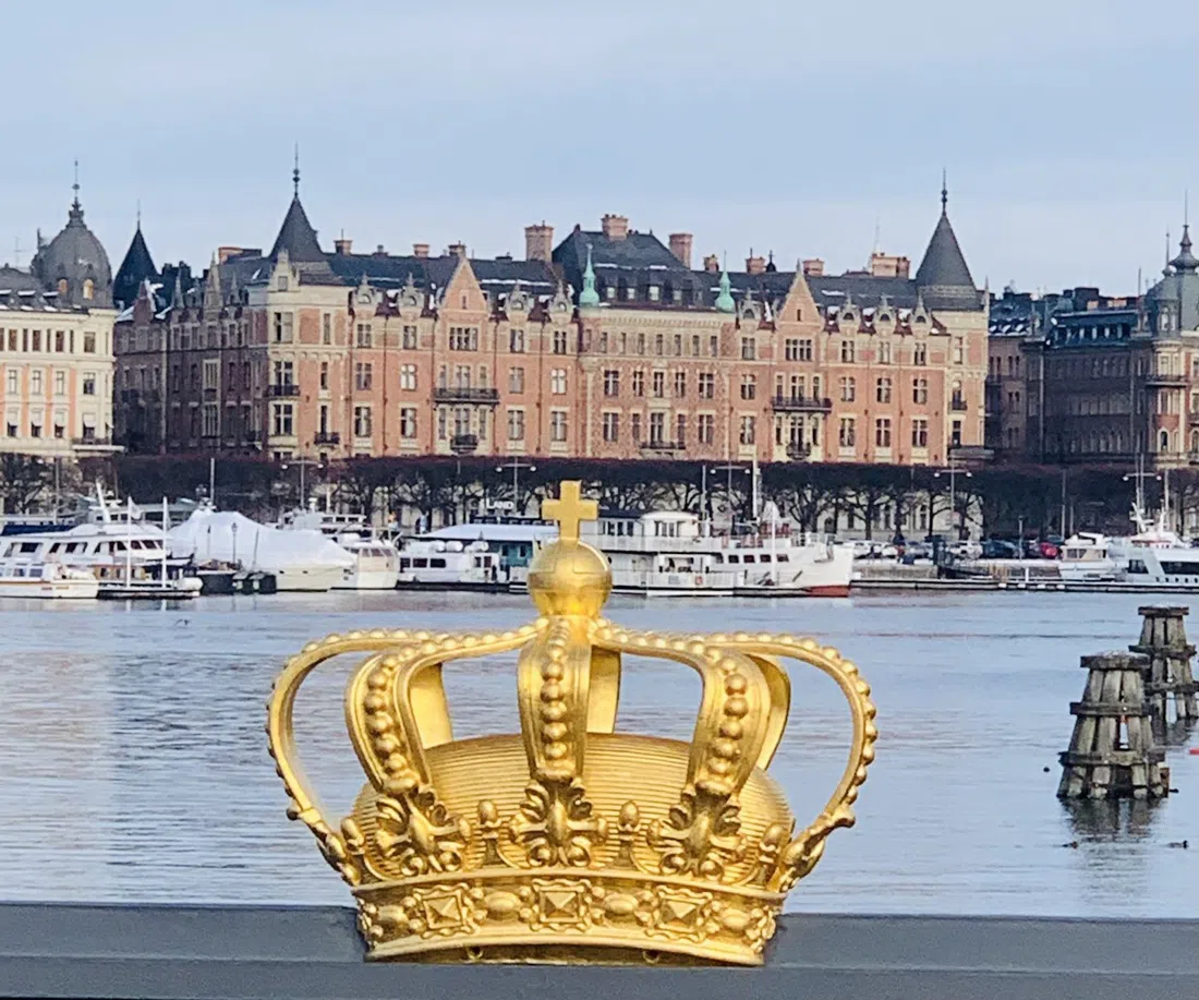
Head back off Djurgården, but instead of retracing the same route, cut toward Skeppsholmsbron (linking Blasieholmen to Skeppsholmen), the quietest of the classic crossings. Where Djurgårdsbron draws a crowd, this one rarely does — it's a narrow, unhurried bridge onto the small museum island of Skeppsholmen, and it happens to give one of the best low-angle views of Gamla Stan, the Old Town, in the whole city. No booking, no group cap, free, and usually just you and whoever else is walking a dog. Skeppsholmen itself is small enough to cross end to end in under ten minutes, past dry-docked ships and gallery buildings you can appreciate from the outside without needing to detour in for this route to hold together.
From there, it's a walk of well under half an hour around the water to Riddarholmen (beside Gamla Stan), an island that gets a fraction of the foot traffic of the Old Town it sits directly next to. This is the deliberate contrast stop in the route — cobbled, near-silent, ringed by water on three sides, with none of the queue or souvenir-shop density of Gamla Stan proper. Walking the island is free; the church keeps its own separate opening hours and charges a small entry fee if you want to go in, otherwise treat it as a fifteen-minute loop to decompress before the crowds of the Old Town return.
Västerbron: The Golden-Hour Crossing
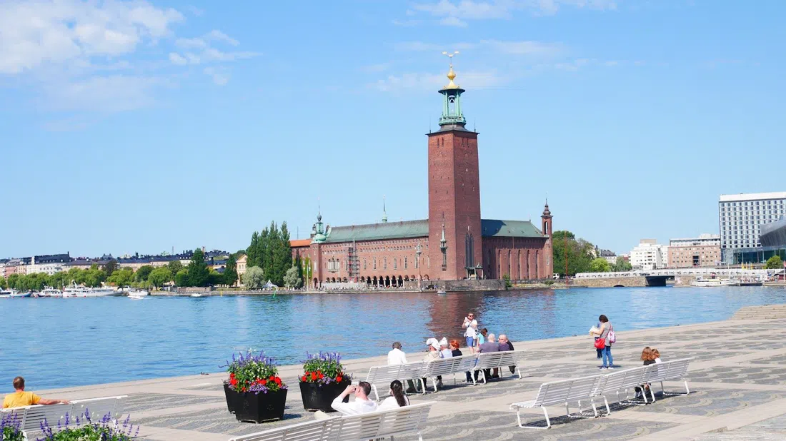
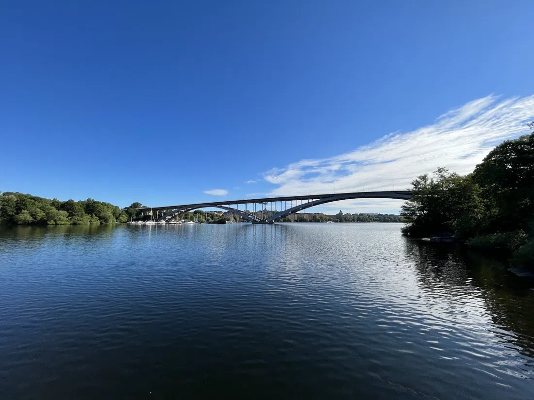
This is the leg to time on purpose. Västerbron (spanning Kungsholmen and Södermalm) is the money shot of the whole route — the long steel arch that anchors most Stockholm postcards, and the view from its highest point, looking east over Riddarfjärden toward the spires of the Old Town, is the reason this ritual exists at all. Walk it in the two hours before sunset if you can manage the timing; in Swedish summer that's late in the evening, but the light is worth arranging the rest of the day around. It's exposed the entire way across and genuinely windy even on calm days down at street level, so bring a layer regardless of season. No booking, no group limit, and the footpath is wide enough that it never feels crowded even with tour groups crossing in both directions.
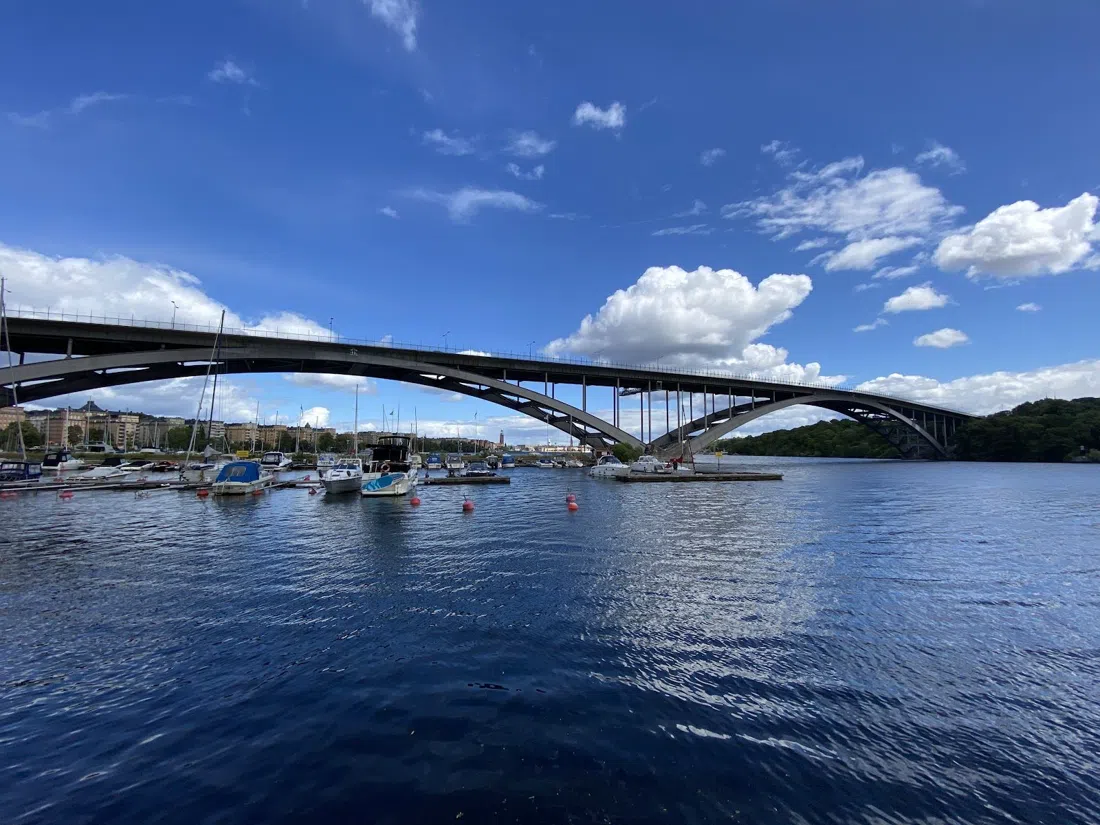
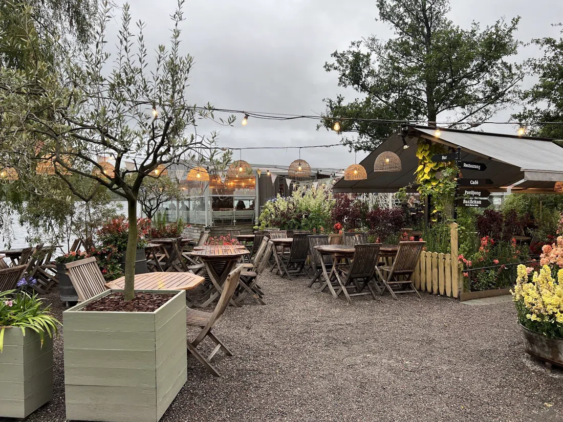
Once you're across on the Kungsholmen side, Mälarpaviljongen (Kungsholmen, at the foot of Västerbron) is the payoff stop — a waterside bar and restaurant with a large outdoor terrace that looks straight back at the bridge you just walked. It's open seasonally, April through September, so it's running now; there's no strict door policy and the terrace handles groups well, though you'll want to arrive before the golden-hour rush if you want a table with the view rather than one facing the car park. Mains run roughly 150–250 SEK, drinks on top of that.
For a different kind of finish to this leg, cross back toward Södermalm via Pålsundsbron to Långholmen (the island west of Södermalm), a wilder detour with a proper urban beach. The swim itself is free, and it's a real option if the walk has left the group overheated rather than facing another museum queue. There's a hostel and café on the island for anyone extending the stay, with prices that vary by season.
The Söder Ridge: Monteliusvägen, Skinnarviksberget, Fjällgatan
Back on Södermalm, the route climbs. Monteliusvägen (Södermalm) is the most accessible of the district's three clifftop viewpoints — a level gravel path along the top of the ridge with a guardrail and benches, looking north over Riddarfjärden and Kungsholmen. It's free, takes any group size, and needs no booking, and it's the natural pause point between Västerbron and the crossing at Slussen that comes next.
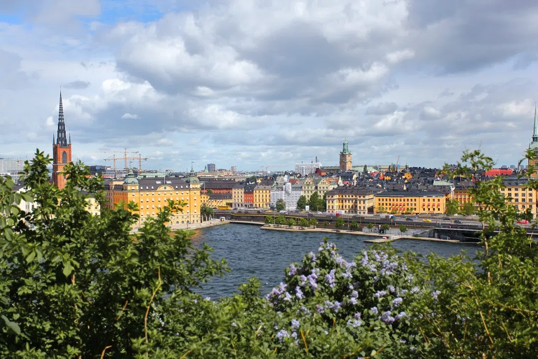
A short walk further along the ridge, roughly ten minutes on foot, Skinnarviksberget (Södermalm) is the rawer counterpart — bare rock rather than a manicured path, and the spot where Stockholmers actually go to sit and watch the sun go down, as opposed to walking through on the way somewhere else. It's a good stop if the group wants to sit for twenty minutes rather than keep moving; there's no infrastructure beyond the rock itself, so bring something to sit on if there are more than two of you, and note the path up isn't level like Monteliusvägen — it takes some scrambling.
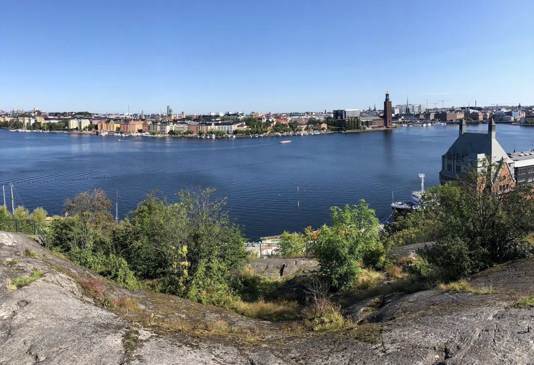
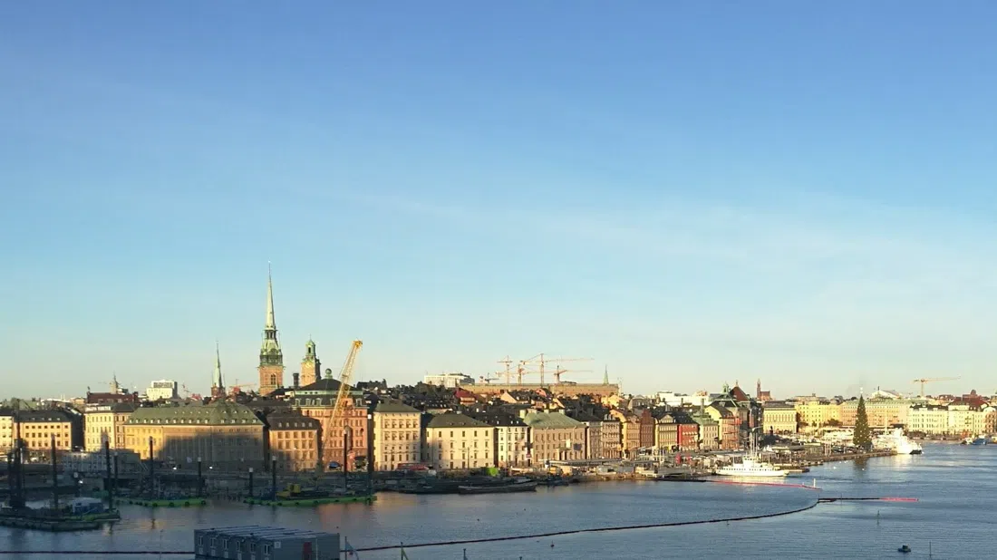
If there's an extra ten minutes to spare and an appetite for a different angle on the city, detour east along the ridge to Fjällgatan (Södermalm), the eastern bookend of the Söder walk. Where Monteliusvägen and Skinnarviksberget look toward the lake, Fjällgatan looks the other way, out toward the archipelago — a genuinely different view rather than a repeat of the last two stops, and one most itineraries skip because it sits slightly off the direct line toward Slussen.
Finishing at Slussen: Katarinahissen and Fotografiska
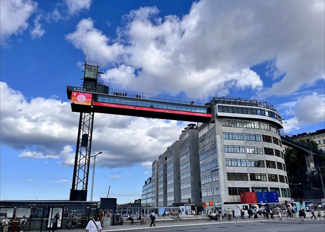
The ridge walk ends at Slussen, where the lake meets the Baltic and the route's transit lines converge again. Katarinahissen (Slussen), the old lift platform, reopened in 2023 after years shut for the Slussen rebuild and is confirmed running in 2026 — it's the fastest way up to a rooftop-level view without paying for one, though it can queue at peak times, so aim for outside the middle of the day if you're bringing a group. Viewing is free.
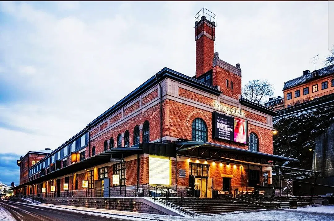
From the platform, it's a flat few minutes to Fotografiska (Södermalm, on the water near Slussen), a photography museum with a rooftop restaurant that has some of the best harbour views in this part of the city — a natural closing stop for a route that ends on Södermalm's shoreline rather than back where it started. It's open daily, 10:00 to 23:00 in 2026, admission around 195 SEK, and the restaurant suits a group dinner after the walk far better than it suits a quick coffee. T-bana, buses and the Djurgården ferry all meet within a few minutes of here, so it also works as the point where the route can simply end.
See It From Underneath, Once
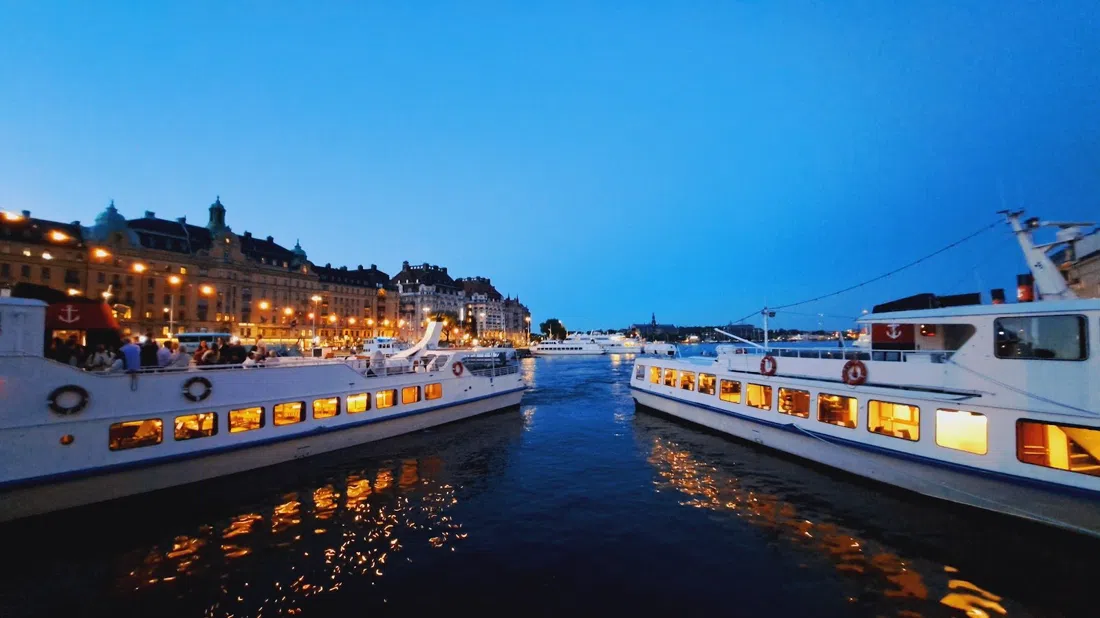
Having walked the bridges, it's worth crossing under them at least once. The Strömma Stockholm Highlights Boat Tour ("Under the Bridges"), departing from Strömkajen near the Grand Hotel, runs much of the same water the route has been tracing, but from below — the underside of Västerbron's arch and the other crossings photographed all day look different from a boat deck. It's confirmed running in 2026, costs roughly 300–350 SEK, and has a dedicated group booking desk for anyone travelling with more than a couple of people. Book it for a day the legs aren't up for more walking — an hour on the water after a day on foot is a better ending than one more bridge.
Practical Details
Transport: SL covers trams, buses and the Djurgården ferry on one ticket or app pass — a 24- or 72-hour pass is worth it for more than one leg of this route in a day. Tram 7 and bus 69 both start from Sergels Torg for the Djurgården leg; everything else on Södermalm and at Slussen is walkable from the T-bana stations at Slussen or Gamla Stan.
Cash: Sweden runs almost entirely on card and mobile payment — carrying cash is rarely necessary, and some smaller cafés won't take it at all. A card that works contactless covers tickets, museum entry and the boat tour.
Timing: Done properly, with stops rather than rushed, this is a full day on foot — figure six to eight hours including museum time. With only an afternoon available, do the Västerbron-to-Slussen half and save Djurgården for a separate morning; both halves stand alone. Whichever half is chosen, aim to hit Västerbron in the two hours before sunset.
Budget: The bridges, viewpoints and Katarinahissen are all free. A day that includes one museum — Vasamuseet or Fotografiska — plus lunch at Rosendals Trädgård and a drink at Mälarpaviljongen runs somewhere around 500–700 SEK per person, before the boat tour. Add roughly 300 SEK for the underneath-the-bridges boat trip if that's part of the plan.
For the wider city context around this route, start with the Stockholm guide, and use the Stockholm hotel search to find a base on or near Södermalm or Kungsholmen — either puts most of this walk within reach without needing transit to start the day.